Deep in the Owyhees
Five rigs, five days and a lot of dust: the spires of Leslie Gulch, a homestead camp at Birch Creek, a string of river crossings, one fuel lesson, and a victory lap on the Alvord playa.
Some routes you drive. This one you earn.
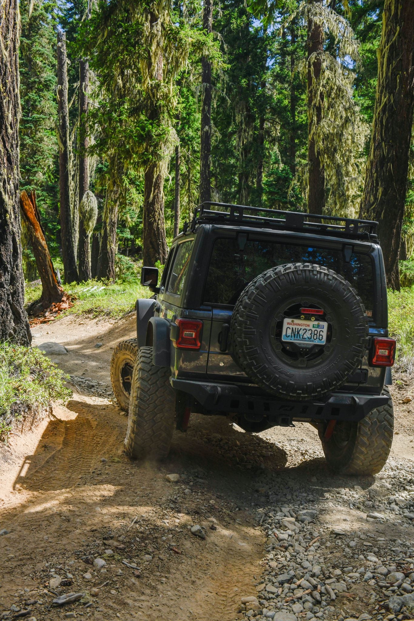
Five rigs set out for the Oregon Owyhees: Jon’s Grand Cherokee on 37s, Levi’s WK2, Kevin’s Everglades Bronco, Devon’s FJ Cruiser with its rooftop tent, and Jason’s Sprinter van. Kevin and Jason booked the trip as GrandX guests.
The plan was simple to say and hard to do: Leslie Gulch, then a homestead camp at Birch Creek, then Coyote Lake, and finally the Alvord Desert playa. In between sat hundreds of miles of remote country and one real question nobody could answer before we left: where the fuel would come from.
A long first day
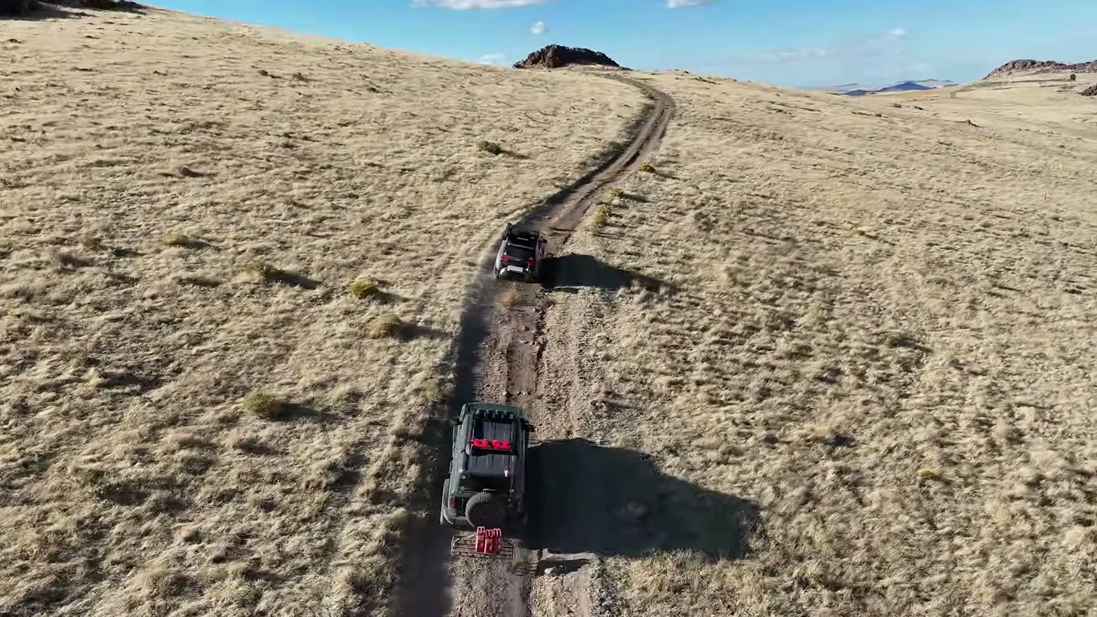
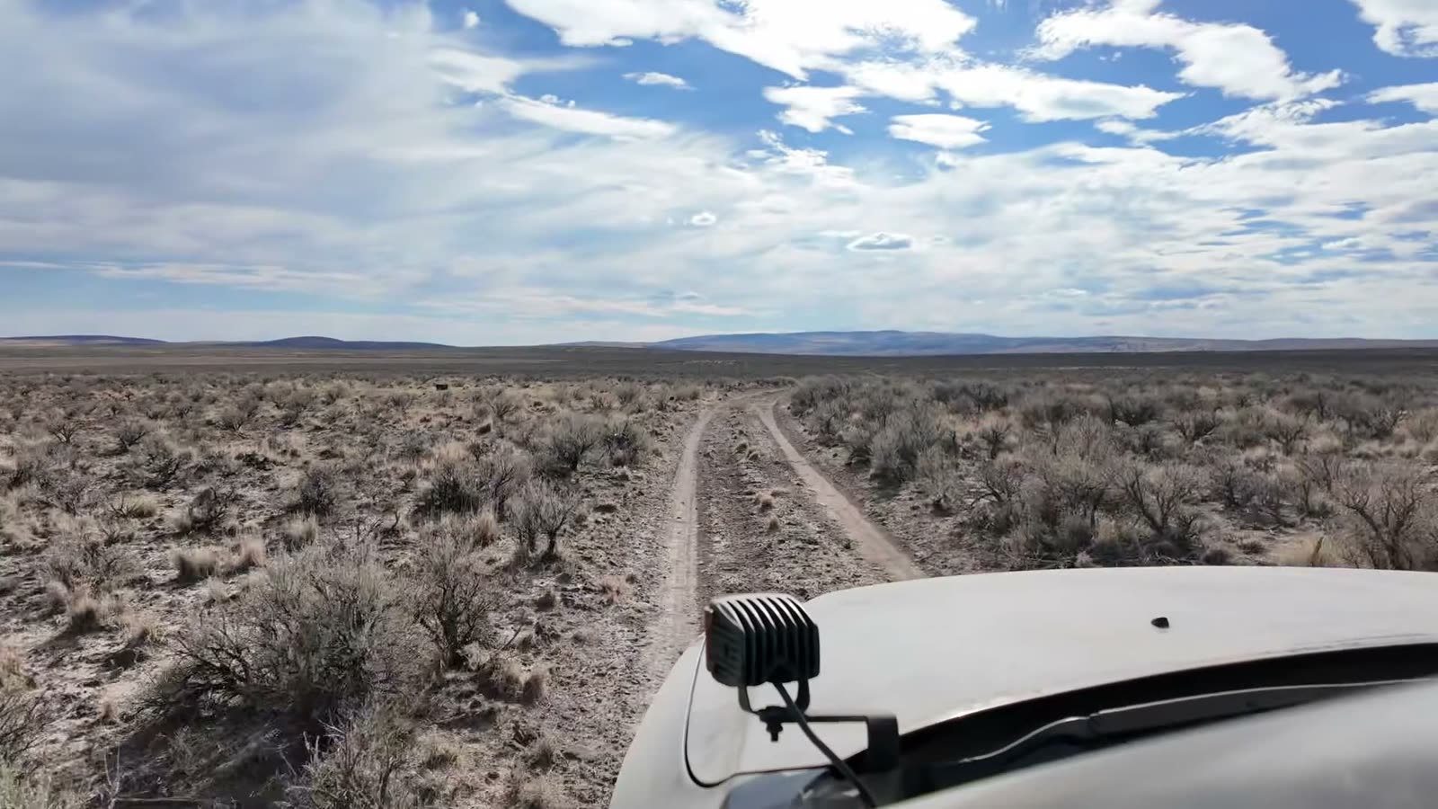
Day one was a travel day, six to seven hours of driving to reach our first camp up on Steamboat Ridge. It was dry out there, so there was no open fire. We dug down to bare dirt, ringed it with rocks, and ran a propane fire pit instead.
The payoff came at sunrise. No matter how many times we bring people out here, it never gets old. It looks like another planet.
A cache and a descent
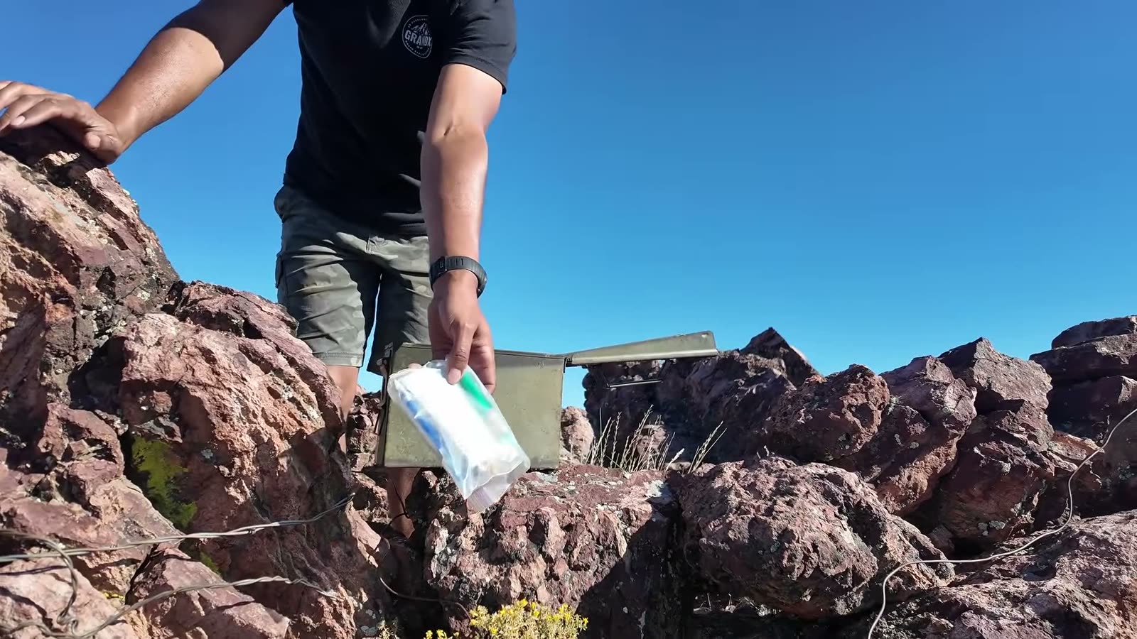
On the way down, we stopped to check on an old friend: an ammo-can cache tucked into the rocks that Jon had found on a previous trip. It was still there. We left a GrandX card and a rubber duck named Mr. Washington for whoever finds it next.
Then came the steep hill descent, around twenty degrees, which had us looking hard at the Sprinter. Everyone made it down.
Leslie Gulch
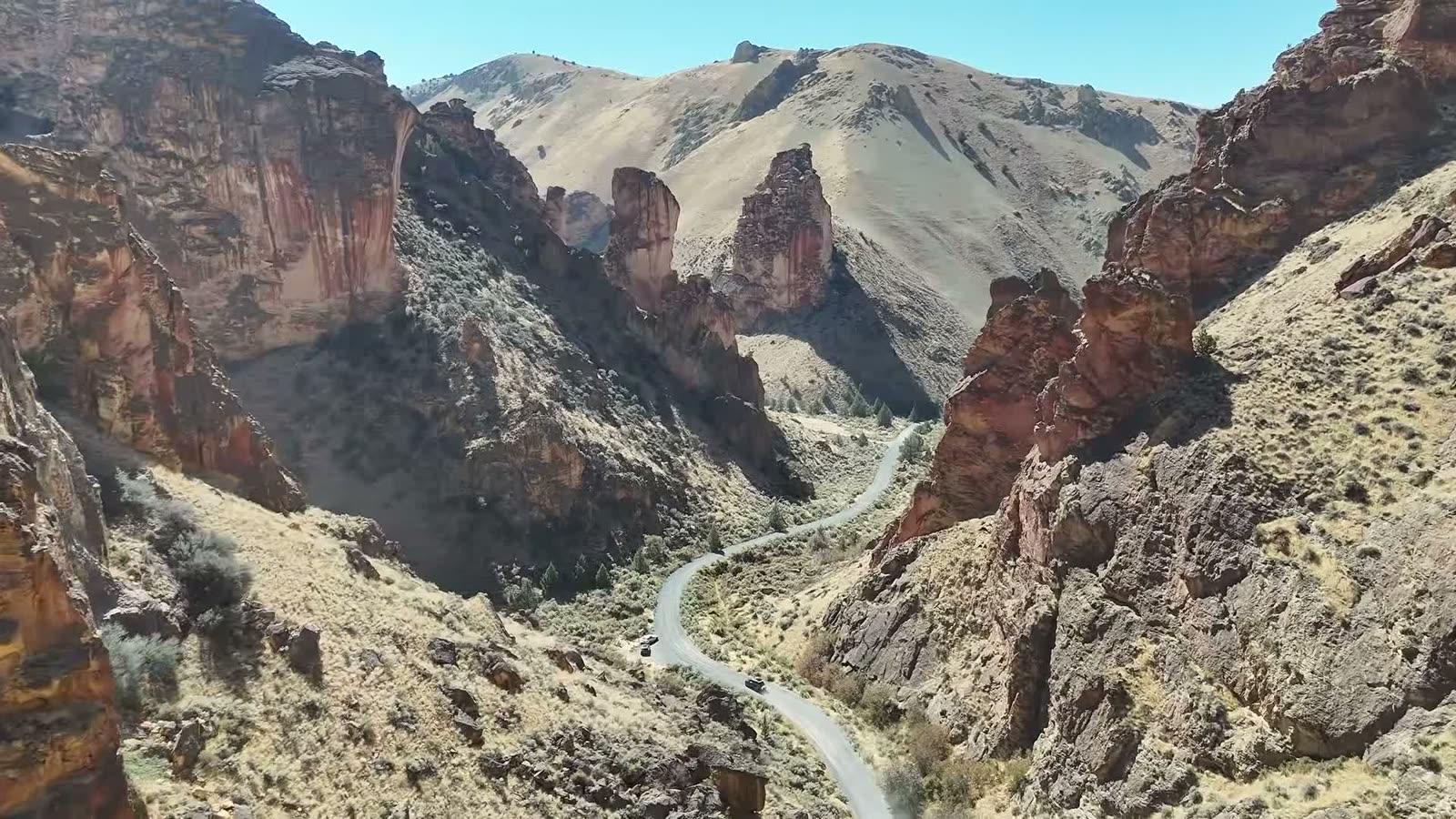
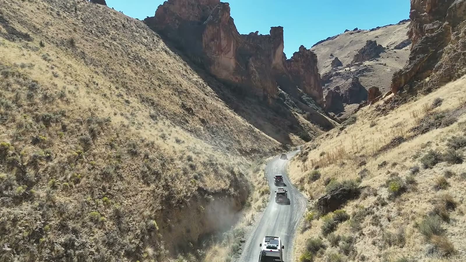
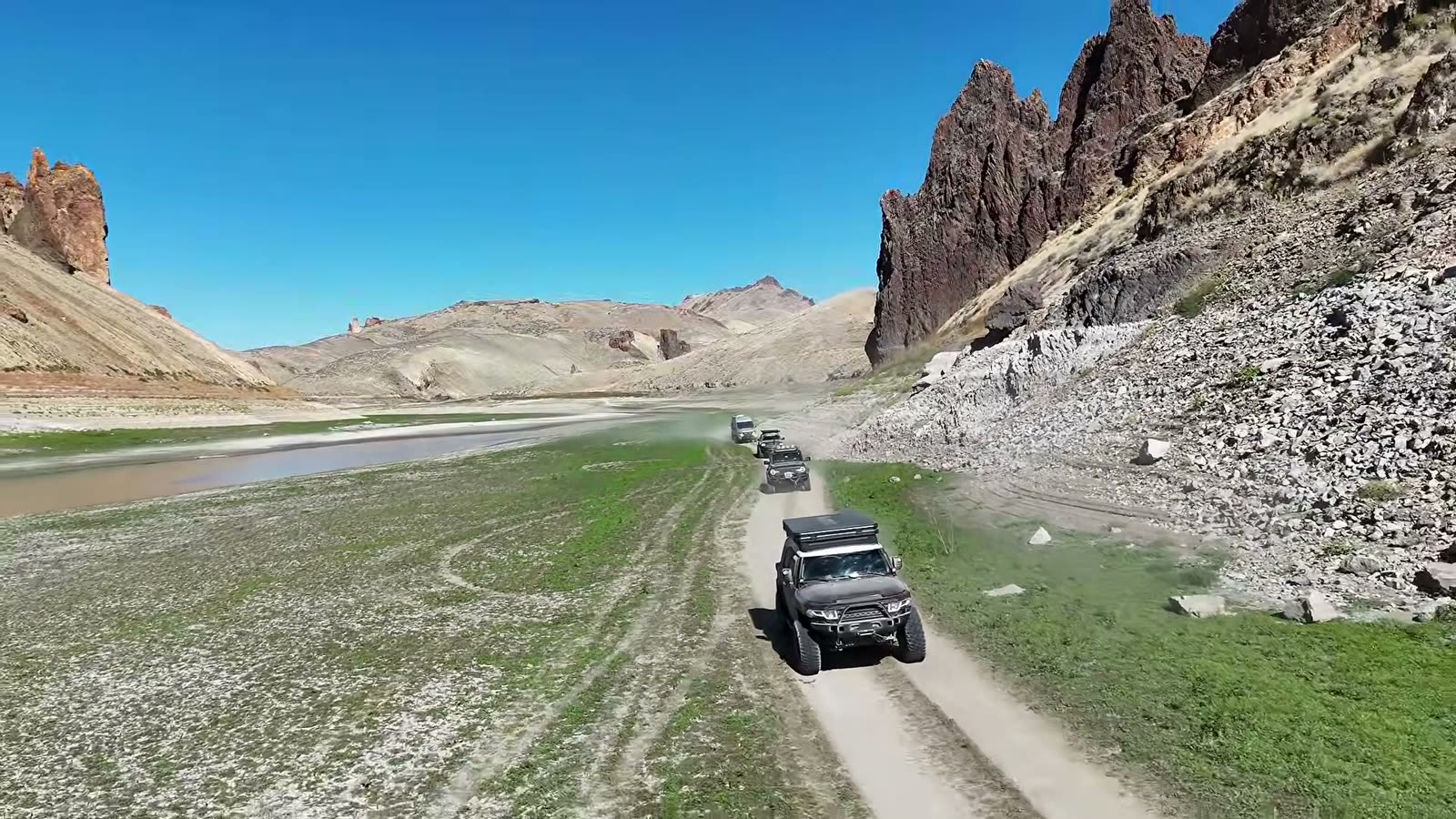
This is the moment everyone had been waiting for. Leslie Gulch is one of the most striking places we know, with towering spires and red rock walls on every side.
This year the reservoir was low. Where we would normally be looking at a lake, there was a river and a long green valley floor, and the trail ran along it farther than we have ever been able to go. We had hoped to camp down there, but the sand fleas, by the millions, made that decision for us.
The Sprinter kept surprising everyone. Off camber, a tire in the air, climbing up and over stuff. Van life people, we see you.
A night run to Birch Creek
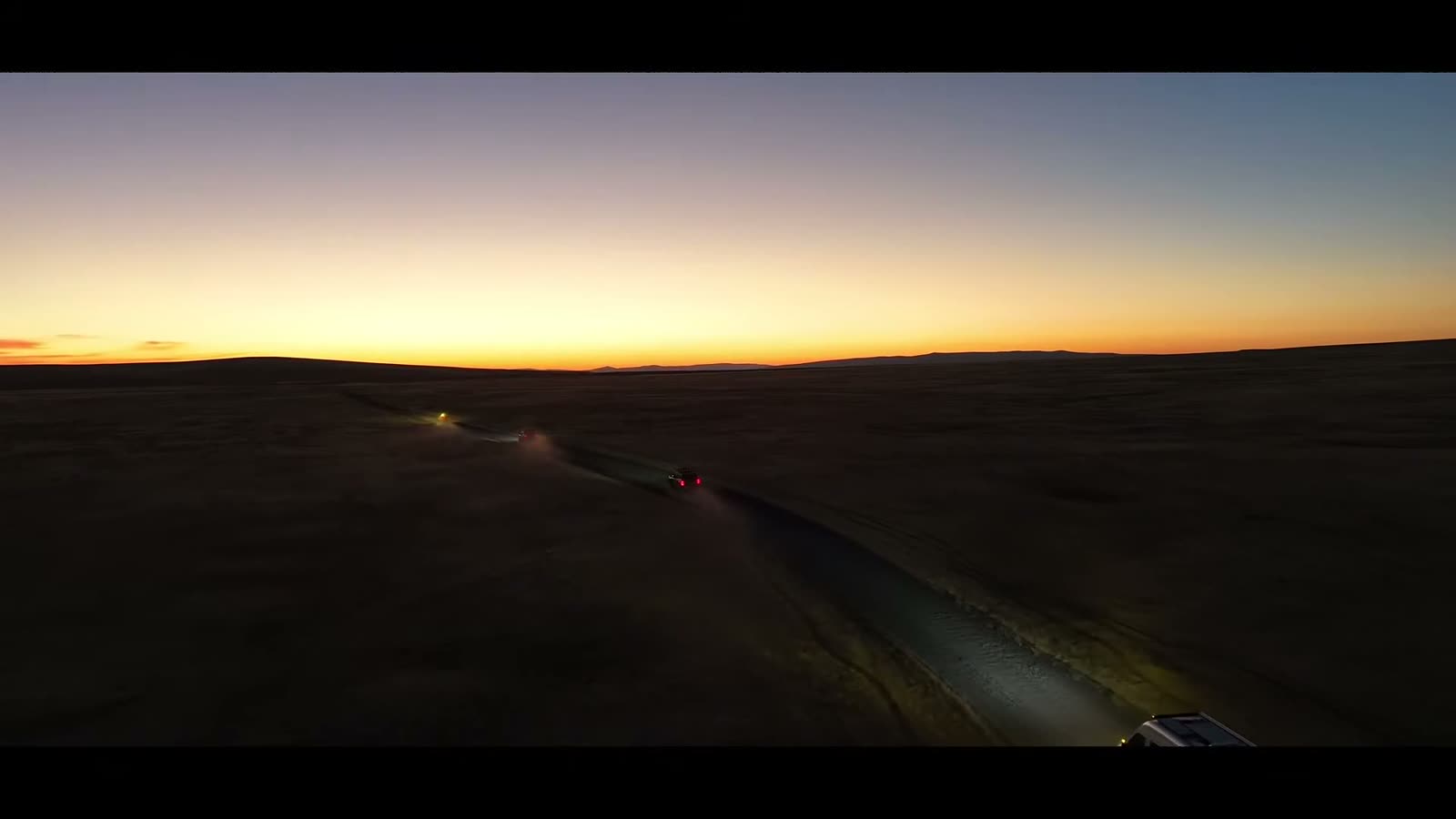
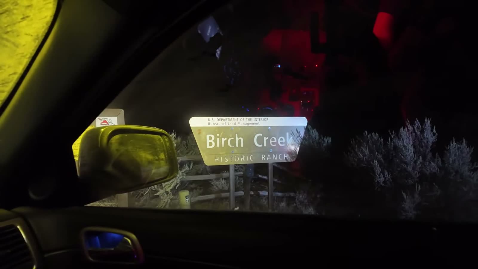
Rather than climb over every canyon between Leslie Gulch and Birch Creek, we made a call: take the direct route that night and set up one base camp for two nights.
It was a push. Washboard roads, rigs spaced a quarter mile apart to stay out of each other’s dust, and a route that ducks back and forth between Mountain and Pacific time until your watch stops making sense. One road we had used before now had a closed, locked gate marked private property, even though the map still shows public land beyond it. We turned around. Respect the ranchers out here, and if you drive this route yourself, you’ll see that gate marked.
We rolled into the Birch Creek homestead in the dark, made fajitas, and went to bed.
The crossings
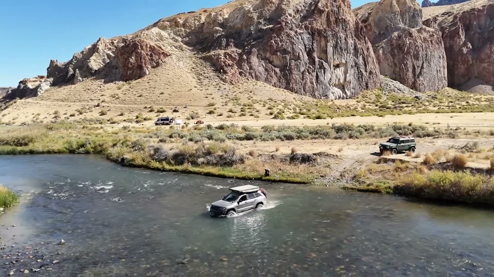
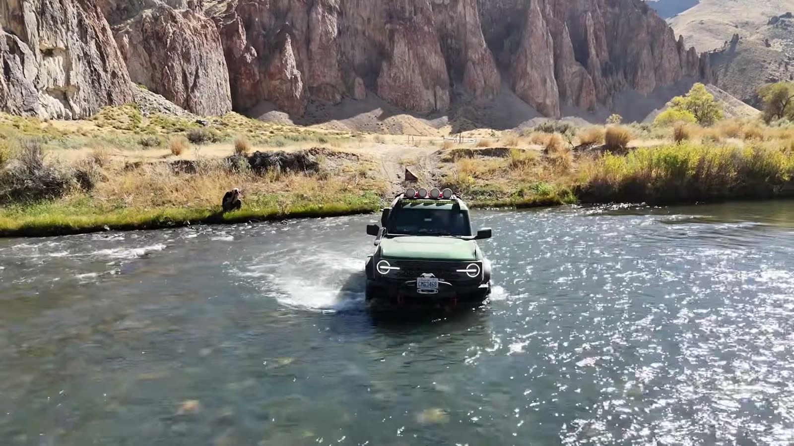
Birch Creek is one of our favorite camps, and it was freezing at sunrise. Jason gave the Sprinter a well-earned day off at camp, and the rest of us set out to cross the river toward the town of Juntura for fuel and supplies.
Levi’s WK2 sits lowest of all our rigs, so he went first, tethered to Jon’s Jeep: if he could make it, everyone could. A boulder in the second crossing grabbed a rear tire on the way through, but every rig came out the other side. We had been waiting five years to cross that river. After the second, the rest were easy.
The Juntura lesson
The road to Juntura is no joke. It’s not extreme, but it’s technical in places, with ruts, climbs and shelf roads over the mountains before it opens into prairie. It took about six and a half hours, and the fuel light came on as we rolled in.
The listing said Juntura had fuel. The nice lady at the cafe told us there hasn’t been a working pump there since the eighties. So, a warning: do not go to Juntura for fuel. It is a beautiful drive, though.
We made it back to camp at about one in the morning, glad that Kevin had packed a full tank’s worth of spare fuel.
Rome Station and Coyote Lake
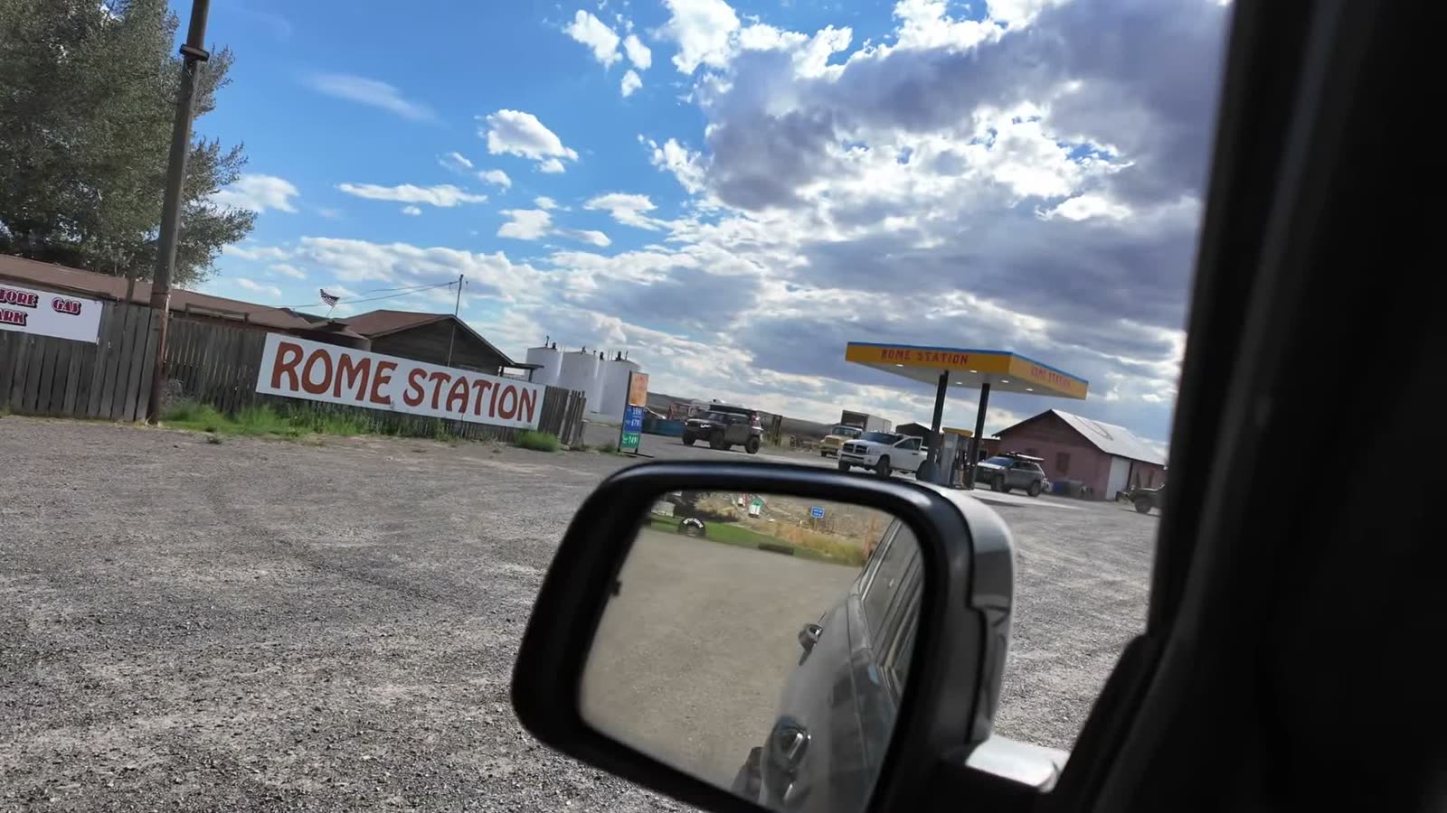
Leaving Birch Creek, we rolled the dice on Rome Station. The store has closed for good, but the pumps were still working, and that was the last fuel on our route. On the way, a tornado touched down far off on the horizon. It was big, and luckily it was nowhere near us.
The Pillars of Rome turned out to be more of a drive-through museum than a destination. After Leslie Gulch, they’re a tough act to follow.
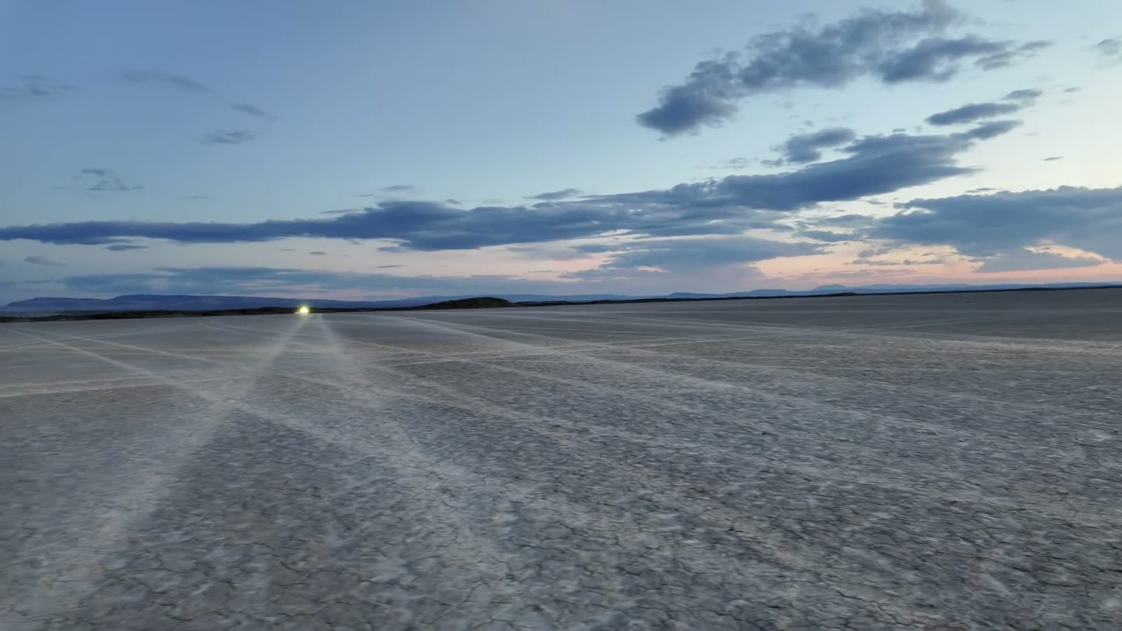
Then came Coyote Lake, a dry lake bed we had entirely to ourselves for our final camp. One word of caution for anyone heading out to the playas: don’t run fast after dark. People sometimes camp right out on the Alvord.
The Alvord
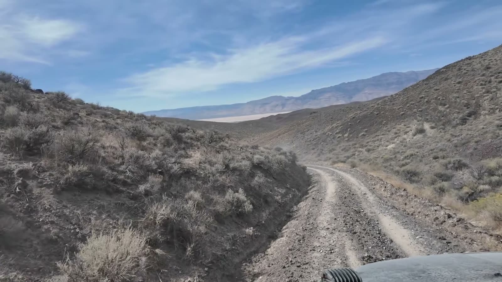
Coming over the last hills, there it was: the Alvord playa stretched out ahead, with Steens Mountain rising behind it. Bring a bandana for this stretch. The dust that gets into the cab wants to stay there.
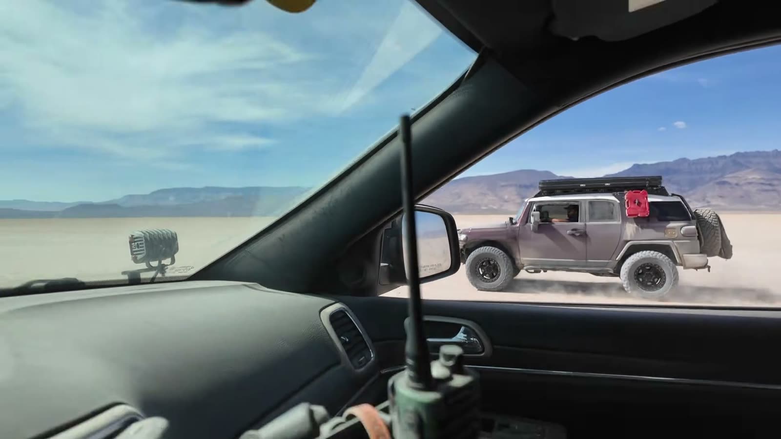
Then we got our victory lap, side by side across the playa. No traffic, no stop lights, no speed limit signs, and a few loaded overland rigs pretending to be race cars.
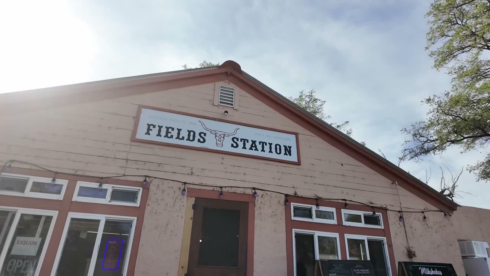
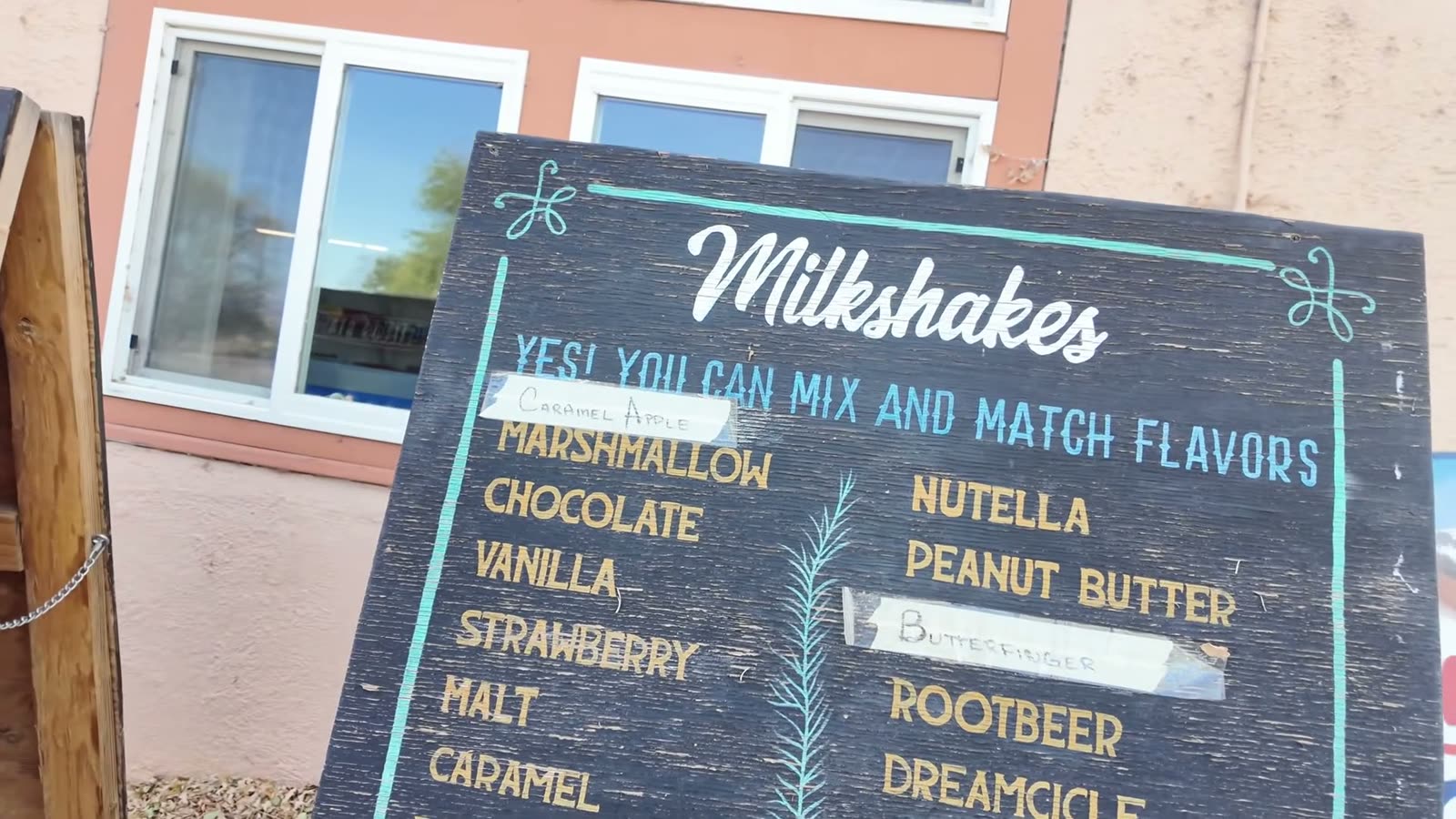
Milkshakes at Fields
Every time we make this trip, we end it the same way: Fields Station, an oasis in the middle of the desert, and their famous malt milkshakes. It’s the perfect way to finish five days of dust, river water and good company.
Drive it yourself, or come with us
Take the route yourself. The Alvord Expedition field guide is a $5 download. It includes the GPX tracks and waypoints, the road alternatives, and our fuel planning, including a Jordan Valley fuel option. Plan your fuel independently of Rome, and carry all your drinking water.
Or let us take you. See upcoming trail days and come out with the GrandX crew.
Watch the whole trip. The three-part Deep in the Owyhees series is below, and there’s more on our YouTube channel.